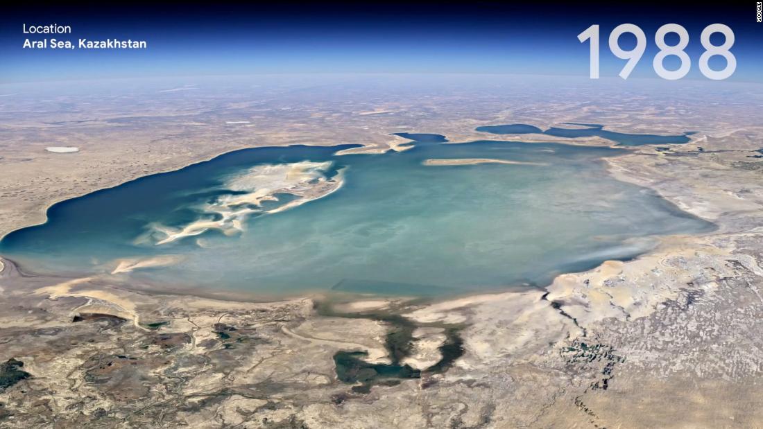
Google’s latest feature, Timelapse, is a dazzling engineering feat that provides visual evidence of how the Earth has changed as a result of climate change and human behavior. The tool takes the static images from the platform and turns it into a dynamic 4D experience, allowing users to click through time-lapses that highlight melting ice sheets, retreating glaciers, massive urban growth and the impact of forest fires on agriculture.
To explore Timelapse in Google Earth, users can type any location in the search bar to see it in motion, be it a landmark or a neighborhood in which they grew up. Google said it removed elements such as clouds and shadows from the images and calculated a single pixel for every location on Earth for every year since 1984; Ultimatel merge them into a time-lapse video.
For example, it is possible to see the Cape Cod coast slowly shift south, agricultural growth in the middle of a desert in Al Jowf, Saudi Arabia, and the development of Songdo Beach, an artificial beach in Busan, South Korea.
“Visual evidence can get to the heart of the debate in a way that words cannot and convey complex issues to everyone,” said Rebecca Moore, a director of Google Earth. in a blog post on Thursday.
Google has also taken several tours through Voyager, the storytelling platform, around some of the wider changes seen in the images.
The company said it hopes governments, researchers, journalists, educators and advocates will analyze the images, identity trends and share their findings.
“We invite everyone to take Timelapse into their own hands and share it with others – whether you’re marveling at changing coastlines, tracking the growth of megacities or tracking deforestation,” said Moore. “Timelapse in Google Earth is about zooming out to assess the health and wellbeing of our only home, and is a tool that can lead and inspire action.”