
NASHVILLE, Tenn. (WTVF) – Where’s the sunshine? I know many of you ask that question after a few gloomy days!
On Sunday it will remain mostly cloudy and on the cooler side with maximum temperatures around 40. We might get a few peaks of sun among the clouds during the afternoon, but it won’t linger long.


Sunday night will be cloudy and cold when the temperature drops below freezing again. Our next weather system will bring in moisture from the south around midnight. The best chance of light snow showers seems to be in the early morning hours south of Interstate 40 and east of Interstate 65.
There is still some uncertainty with this prediction – as if dry air flowing in from the north will cut off the moisture flowing in from the south. That could lead to less snow potential!

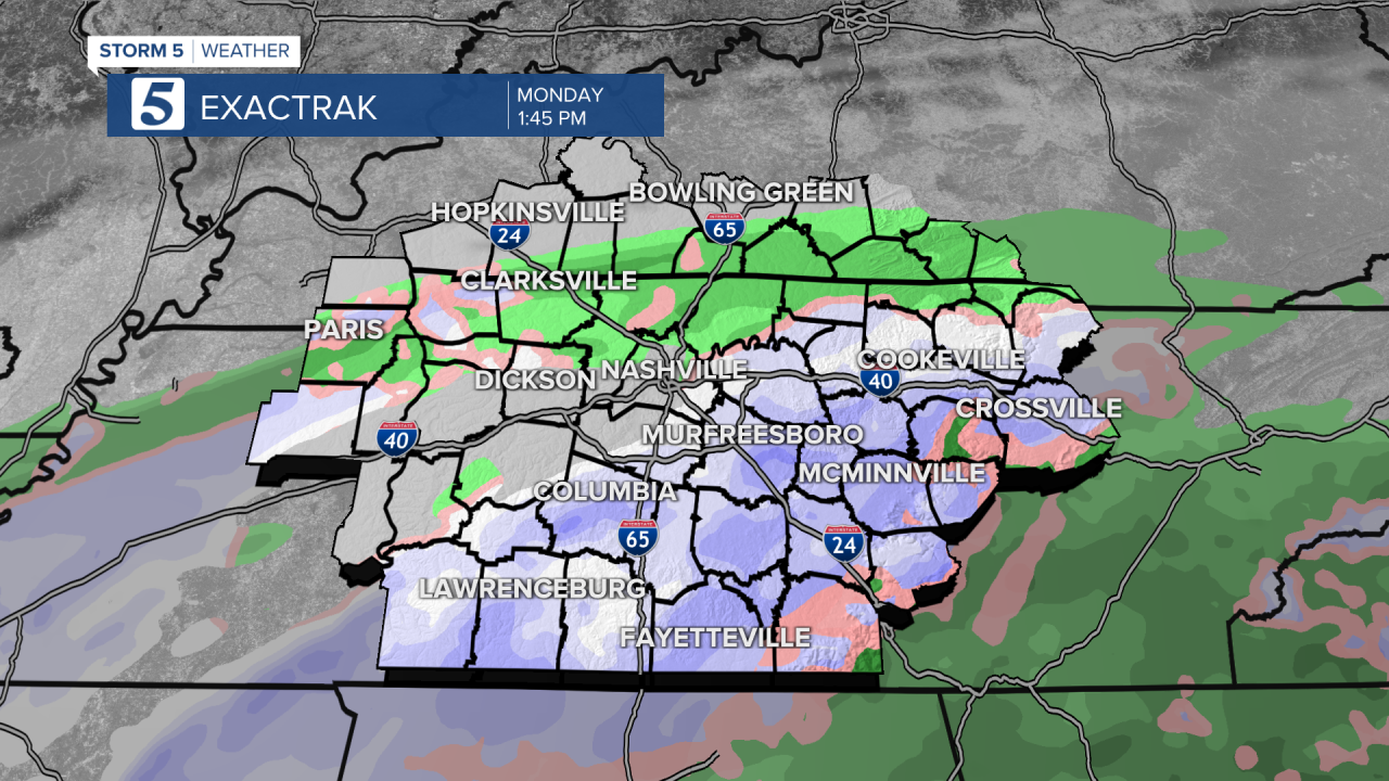

As with our last winter event, not everyone gets the snowfall! Right now, the best chance of a dusting would be south of I-40, possibly slightly more at our higher elevations along the Cumberland Plateau.
This can also lead to some icy spots on Monday afternoon.

The bottom line is, this isn’t a slam dunk forecast for our snow lovers – be prepared for the weather forecast to change! Make sure you have our Storm Shield app to get the latest updates from the Storm 5 Weather team.