Google Maps has been quietly updated to include significantly more detailed street-level information in a handful of major cities around the world.
/article-new/2021/01/google-maps-detailed-street-level-e1611052089473.jpg?resize=560%2C300&ssl=1)
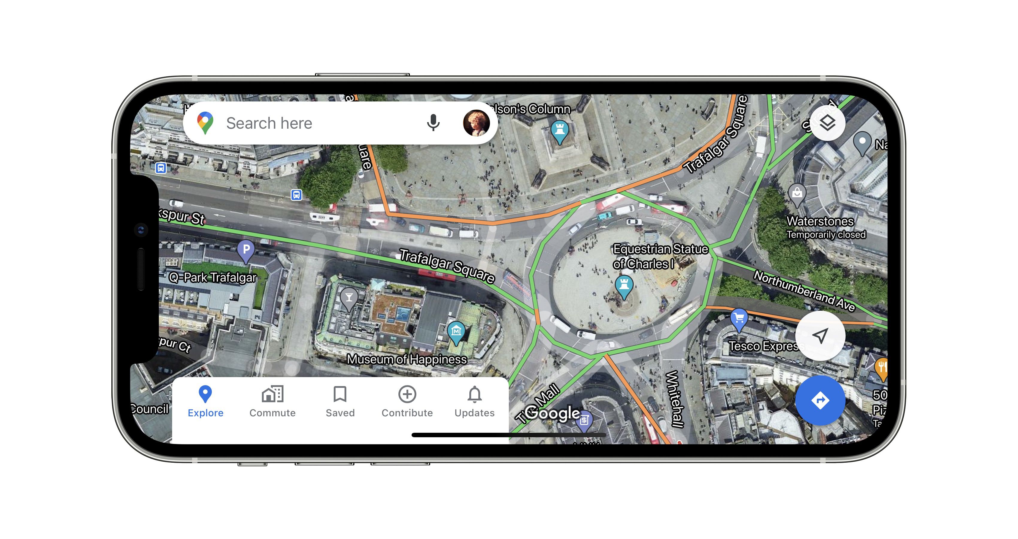
When zooming in, Google’s maps for central London, Tokyo, San Francisco and New York now benefit from shapes and widths that more closely match the scale of roads.
Meanwhile, improved graphics of sidewalks, crosswalks, pedestrian islands and street flora have also been added, which should help users who rely on the maps for walking directions.
Finally, parks now display the actual width of paths in dark green, along with any stairs in gray, providing improved accessibility information for wheelchair users or those with pushchairs.
Some of the improvements are no doubt subtle, but underscore Google’s commitment to improving coverage across the city. The changes are server-side, so don’t require a software update, and Google says it plans to expand the new details to more cities in the future.
Google Maps can be downloaded for free from the App Store. [Direct Link]
(Through Android Police.)