A third of the rivers in the US have changed color significantly in the past 36 years, changing from blue to yellow and green, revealing striking new images.
Researchers analyzed 235,000 satellite images – taken over a 34-year period between 1984 and 2018 – from NASA and the US Geological Survey (USGS) Landsat program. The changing shades can be seen in one interactive map.
More than half of those satellite images showed rivers of a dominant shade of yellow, while more than a third of the images were mostly green. Only 8% of the river photos were mostly blue.
“Most rivers change gradually and are not noticeable to the human eye,” lead author John Gardner, a postdoctoral researcher in the global hydrology lab at the University of North Carolina, told Live Science. “But areas that change the fastest are more likely to be human-made.”
Related: Rainbow Rivers: View beautiful maps of the world’s waterways
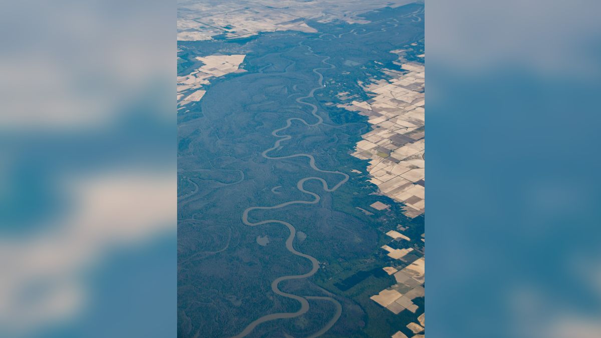
Rivers can appear to have shades of blue, green, yellow, or other colors, depending on the amount of suspended sediment, algae, pollution, or dissolved organic matter in the water. In general, river water turns green as more algae bloom or when the water carries less sediments. Rivers tend to turn yellow when they have more sediment.
“Sediment and algae are both important, but too much or too little of both can be disruptive,” said Gardner.
Assess trends
In all, over a 34-year period, the researchers collected 16 million measurements on the 67,000 miles (108,000 kilometers) of rivers in the US that are more than 197 feet (60 meters) wide. This allowed them to track major color change trends over time.
More than half of the rivers, or 55%, varied in color over time, but with no apparent trend over time. One third changed color during that period and only 12% had a constant color.
In the north and west, rivers tended to get greener, while the eastern regions of the US tended to yellow rivers. Larger waterways, such as the Ohio basin and the Upper Mississippi basin, also turned blue-green.
“Big trends towards yellow or green can be troubling,” Gardner said, adding that “it depends on the individual river.”
Just as leaves turn red and gold in fall, rivers can also change color with the seasons, thanks to changes in rainfall, snow melt, and other factors that alter the flow of a river.
The satellite images did reveal hot spots where human influences, such as dams, reservoirs, agriculture and urban development, can change the color of some rivers.
But these changes are not necessarily permanent.
“You could see these trends go completely in the other direction,” said Gardner, “especially if the change occurs as a result of local mismanagement that can be easily remedied.”
River health monitoring
While river color cannot provide exact figures for water quality or ecosystem health, it is a good indicator of both things. Satellite imagery also makes it much easier for scientists to measure color than water quality.
“It’s a really simple statistic that integrates so many things,” Gardner said. “But it can be used to identify areas that are changing very quickly.”
From there, scientists could figure out what’s causing the change, he said.
More research is now needed to determine how accurate river color is in determining ecosystem health and what changes are important to monitor.
The researchers’ findings were published in the journal Dec. 6 Geophysical Research Letters.
Originally published on Live Science.