The strategically located lake, about 14,000 feet (4,267 meters) above sea level, stretches from the Indian territory of Ladakh to China-controlled Tibet, in the greater Kashmir region where India, China and Pakistan all claim territory.
The LAC, which marks the de facto boundary, runs through the lake.
At least 20 Indian soldiers were killed in that incident. China has never acknowledged that there were any victims of that collision.
In a joint statement, both sides agreed to strengthen on-site communication to avoid misunderstandings or actions “that could complicate the situation.”
They also agreed not to take unilateral action that would change the situation on the ground, the statement said.
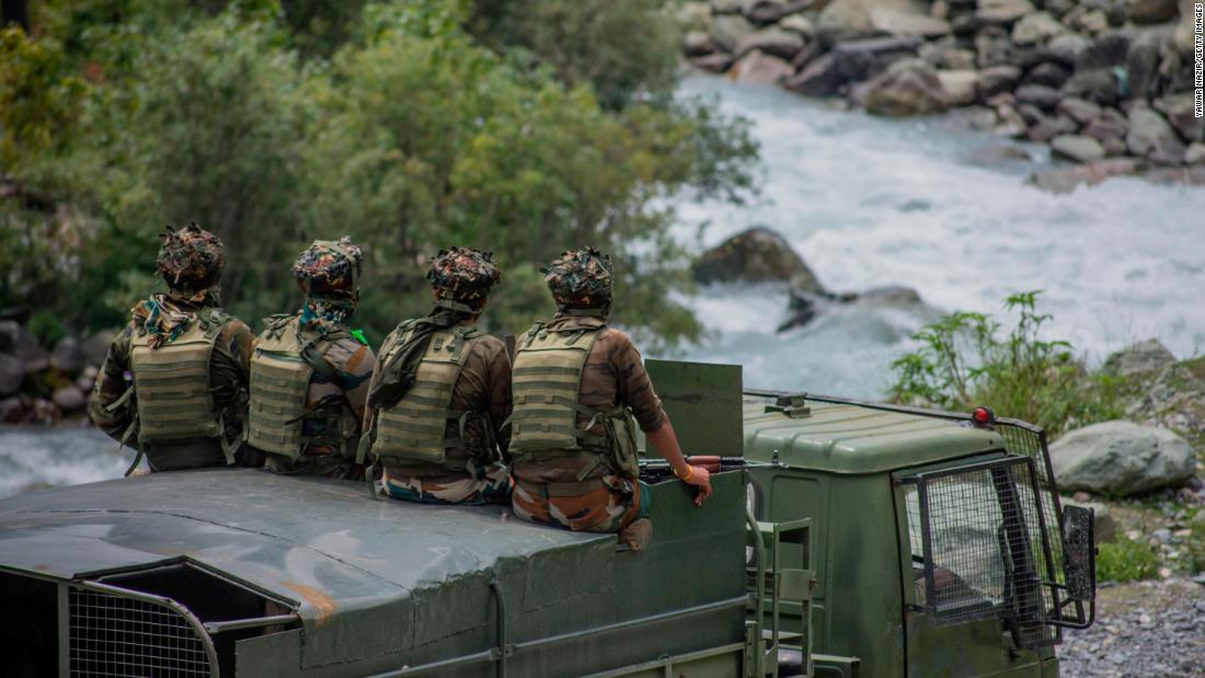
India and China share a 2,100-mile (3,379-kilometer) border in the Himalayas, but both sides claim territory on either side of it.
The LAC was established in the aftermath of the 1962 Sino-Indian War and appears on maps, but India and China disagree on its precise location, and both regularly accuse each other of crossing it or trying to expand their territory.
In 1996, the two countries signed an agreement stating that neither side may open fire within 2 kilometers (1.24 miles) of the LAC to “prevent dangerous military activity”.
CNN’s James Griffiths and Helen Regan contributed to this report.